You chose Paradise on the Guadalupe for the river, the views, and the Hill Country lifestyle. To keep that lifestyle safe, it pays to have a simple, local plan for floods, storms, and power interruptions. In this guide, you’ll learn how the Guadalupe and Canyon Lake are managed, which alerts to watch, and the steps that protect your family and property. Let’s dive in.
Paradise on the Guadalupe sits along a river that can rise fast during heavy rain. Canyon Lake is a U.S. Army Corps of Engineers flood‑control reservoir, so the lake is designed to capture runoff and reduce damage downstream. You should expect rapid changes in river flow during big storms and remain cautious around the water’s edge. The Corps posts official lake and dam updates on the Canyon Lake project page.
Operations below the dam involve two agencies. The Corps controls physical releases when the lake reaches or exceeds conservation pool, while the Guadalupe‑Blanco River Authority manages requested releases below conservation pool to meet downstream needs. You can review how decisions are made in the USACE Canyon Lake FAQ. During severe weather, the National Weather Service may issue Flash Flood Warnings that require immediate action, as covered in local reports on life‑threatening flood alerts in Comal County.
Check the Corps’ Canyon Lake information page during storms. Look for lake level changes, park closures, and any updates that could signal increases in flow below the dam. If the lake climbs above conservation pool, the Corps will evaluate releases and public safety messaging.
When the lake is below conservation pool, GBRA may manage releases for water rights. Local reporting on GBRA decisions appears in resources like MyCanyonLake’s release coverage. If you or your guests plan to tube or boat, compare current flow to WORD’s guide to safe recreation thresholds and adjust plans if flows are strenuous or dangerous.
During active weather, watch USGS gauges cited in local river condition reports and keep wireless alerts on for NWS warnings. Comal County operates a high‑water warning siren system along the Guadalupe; tests and updates are shared publicly, such as the county’s routine siren testing notice. Register for county phone and text alerts and never rely only on hearing sirens indoors.
Even outside mapped flood zones, river‑adjacent lots can flood. Check your parcel on FEMA’s mapping tools and talk to your insurer about coverage. NFIP policies often have a waiting period, so act before storm season. Learn key terms and timing on FEMA’s flood insurance guidance.
Where feasible, raise electrical panels, HVAC units, water heaters, and fuel tanks above expected high water, or anchor them to resist flotation. Photograph equipment locations and keep records with your elevation information. FEMA lists these as common mitigation steps within its flood insurance resources.
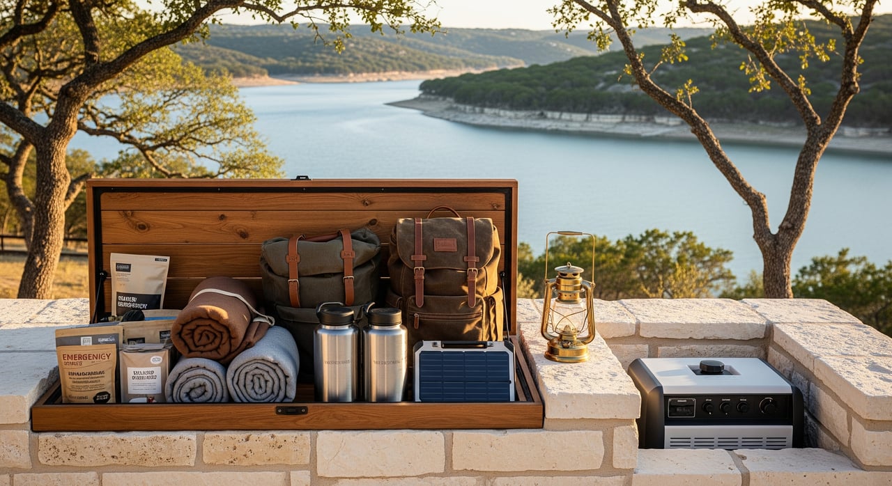
Many homes use septic systems. Have your system inspected before storm season, and avoid use if it becomes inundated until a professional clears it. If you have a standby generator, store fuel safely and test operation ahead of severe weather.
Maintain defensible space by removing dead vegetation and managing fuels within at least 30 to 100 feet of structures where applicable. Watch for Texas A&M Forest Service guidance and periodic grants highlighted in state wildfire mitigation updates. During drought, expect low‑water impacts on ramps and recreation, as reported in coverage of lake level swings.
Before storm season:
If a Flood Warning or Flash Flood Emergency is issued:
After flooding:
Living on the Guadalupe is a gift. With a few simple steps and the right local links, you can enjoy river life with confidence in every season. If you are buying, selling, or weighing improvements in Paradise on the Guadalupe and want grounded guidance on risk and value, connect with The Renfeld Group for local expertise you can trust.

ADDRESS 453 W San Antonio St New Braunfels TX 78130
ADDRESS 453 W San Antonio St New Braunfels TX 78130